Project Overview
As part of the early planning phases for a large business park, the Village of Pleasant Prairie retained raSmith in 2017 to conduct a professionally assured wetland delineation for an approximately 454-acre site referred to as “Prairie Highlands Corporate Park.” Prior to the fieldwork, a review of available maps and other information was evaluated to determine the possible extent of wetlands and waterways within the site. Since a large portion of the site was in agricultural use and was known to contain drain tiles, an evaluation of historical growing season aerial images from a 20-year period were analyzed for potential wetness signatures. A summary form titled “Wetland Hydrology from Aerial Imagery—Recording Form” was prepared which summarized interpretations (wetness signatures), made from viewing aerial imagery as well as a climate summary based on a WETS Analysis. The WETS Analysis was used to determine the normality of precipitation wet, dry, or normal) for the three months prior to the aerial photograph date.
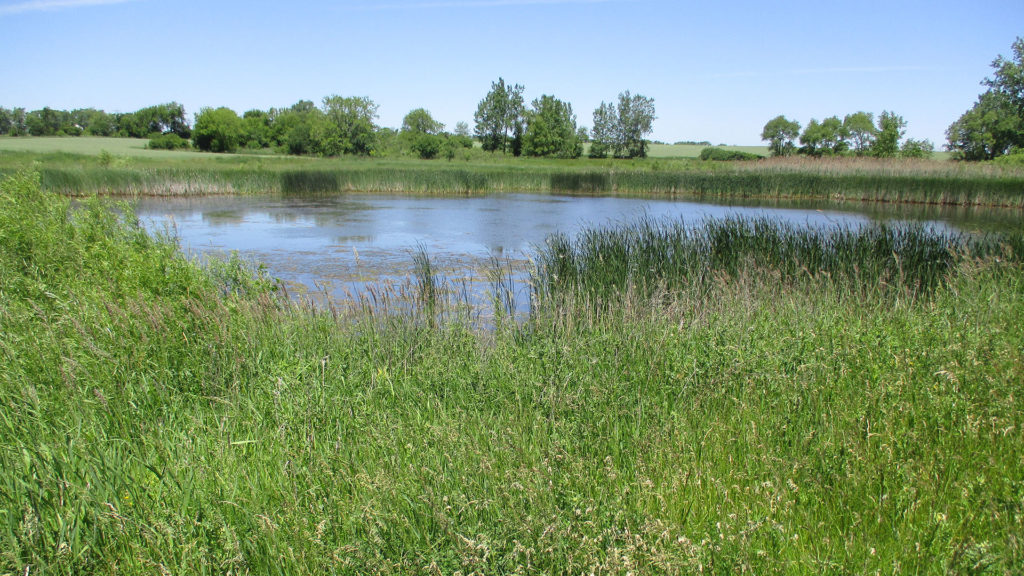
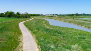
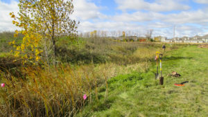
During the field investigation, the presence and absence of hydrophytic vegetation, wetland hydrology, and hydric soil indicators were documented using methodology defined in the U.S. Army Corps of Engineers (USACE) 1987 Wetland Delineation Manual and its adopted Regional Supplement. Farmed areas that contained possible wetness signatures during the desktop review were also carefully evaluated in the field. As a result of the field investigation, twenty-six wetlands, one ditched tributary to the Des Plaines River, and one narrow intermittent drainageway were identified by raSmith assured delineators within the site.
Project Gallery