Project Overview
As part of preliminary planning for a future conservation-style residential development, raSmith completed a desktop site analysis and initial field reconnaissance on the approximately 71-acre Hazelwood property, located at 701 Green Bay Road in the Town of Cedarburg, Ozaukee County, Wisconsin. Desktop resources including USGS topography, LiDAR contours, Wisconsin Wetland Inventory (WWI), NRCS soils (gSSURGO), SEWRPC aerial imagery, and hydrologic datasets were thoroughly reviewed prior to site reconnaissance.
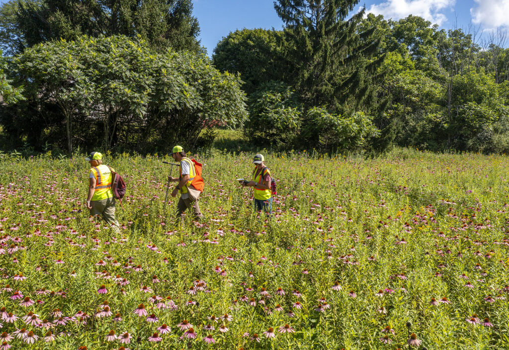
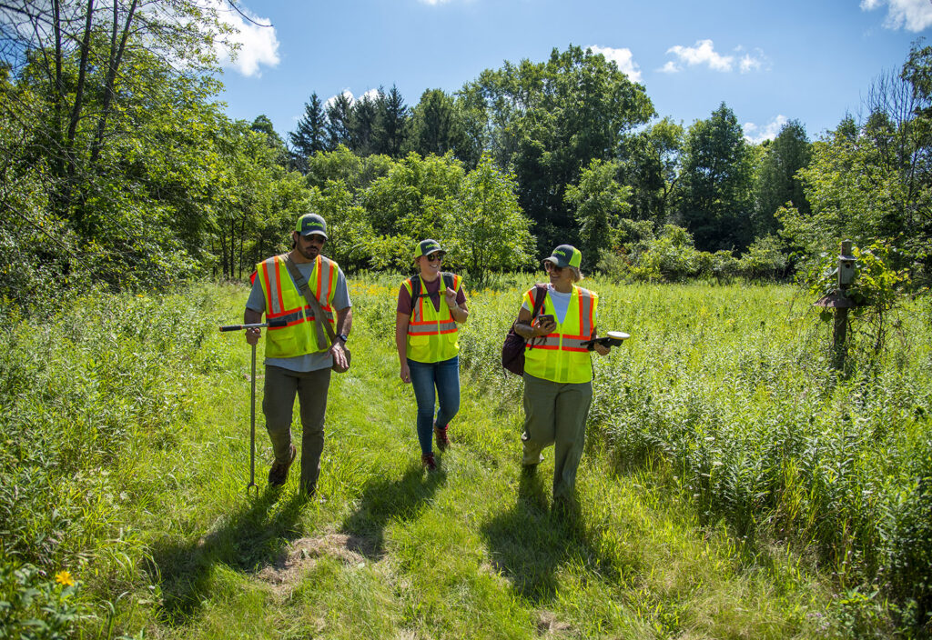
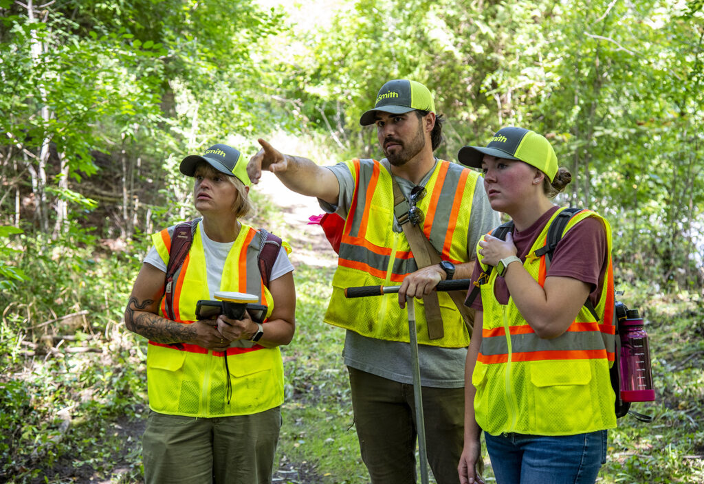
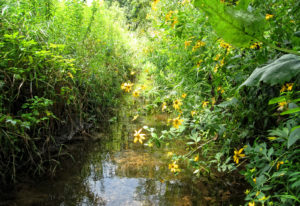
A multidisciplinary team consisting of Erica Pergande, PWS (WDNR assured wetland delineator), Megan Ruemler (ecologist) and TJ Johns (ecologist) conducted an on-site inspection to assess existing conditions, wetland potential, floodplain connectivity, and development constraints. The property features rolling upland topography, forested and emergent wetland complexes associated with Cedar Creek, and interspersed upland ridges of Hochheim-Sisson-Casco and Knowles silt loam soils suitable for residential development.
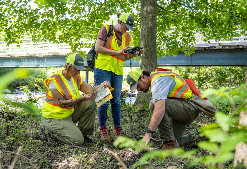
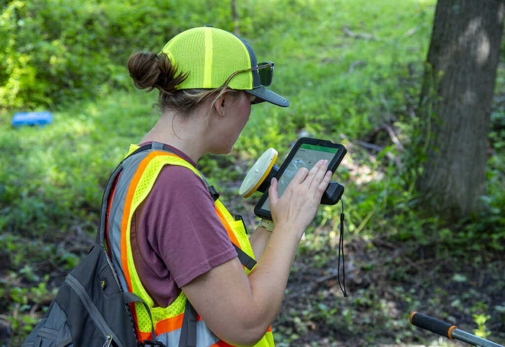
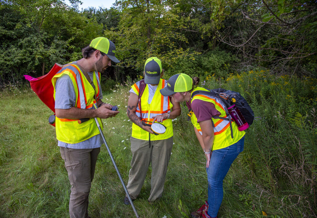
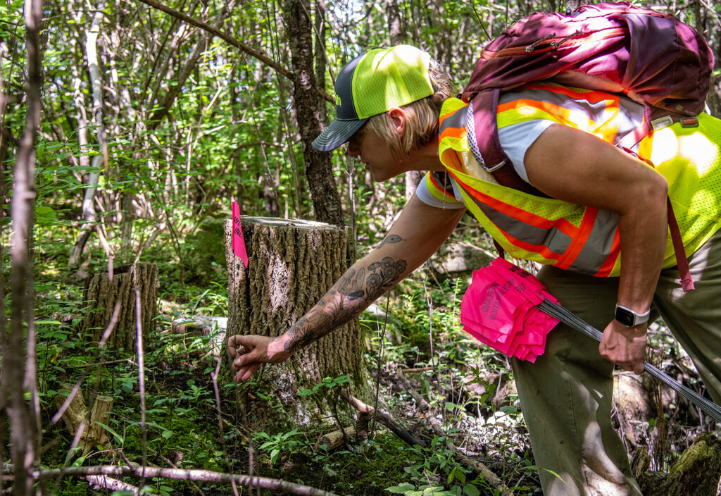
Several depressional and riparian wetlands were observed along Cedar Creek and an unnamed tributary, corresponding with WWI polygons (T3K and E2K) and hydric soil units (e.g., Wet Alluvial Land, Matherton loam). Wetland boundaries were formally delineated during the spring 2025 growing season under WDNR Assured Wetland Delineator standards, with limits surveyed using Trimble GNSS and compiled in ArcGIS for integration into concept planning and permitting.
The site’s floodplain and wetland corridors will play a key role in the layout of future development and access, including the design of a new bridge crossing Cedar Creek. Coordination with the U.S. EPA is anticipated to align with planned remediation and restoration work along the creek.
Project Gallery