Project Overview
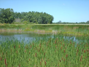
In the summer of 2013, raSmith completed a wetland delineation on the 113-acre Door Creek Park Property in the City of Madison. For this project, raSmith wetland ecologists delineated two wetlands and one waterway (North Door Creek), totaling 25.57 acres. The wetland delineation was completed in association with the Door Creek Park master planning process.
The wetland delineation consisted of a map review followed by several site visits to delineate the onsite wetlands and waterway. The fieldwork documented the presence of hydrophytic vegetation, wetland hydrology, and hydric soil indicators outlined in the following publications: U.S. Army Corps of Engineers (USACOE) 1987 Wetland Delineation Manual, Technical Report Y-87-1 (1987) and subsequent guidance documents (USACOE 1991, 1992), the Basic Guide to Wisconsin’s Wetlands and Their Boundaries (Wisconsin Department of Administration Coastal Management Program, 2005), the Regional Supplement to the Corps of Engineers Wetland Delineation Manual: Northcentral & Northeast Region (Version 2.0), and the guide for the USDA Natural Resources Conservation Services (NRCS) Field Indicators of Hydric Soils (version 7.0) in the United States.
