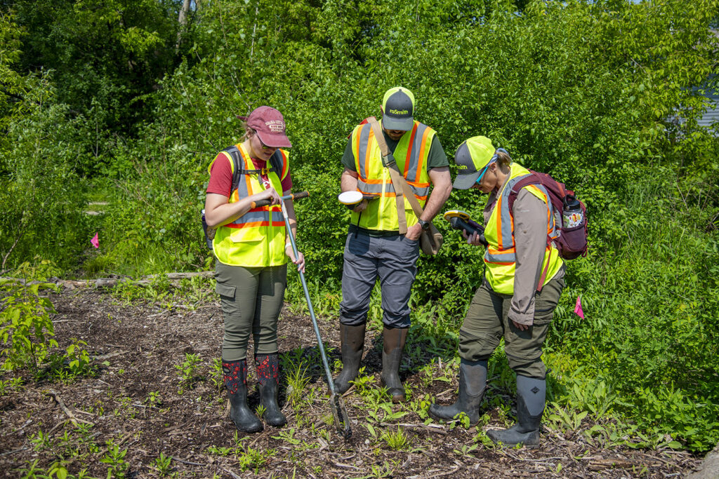
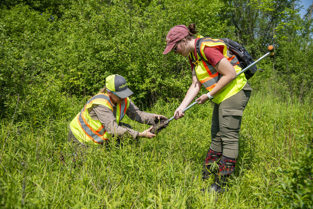
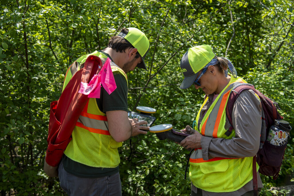
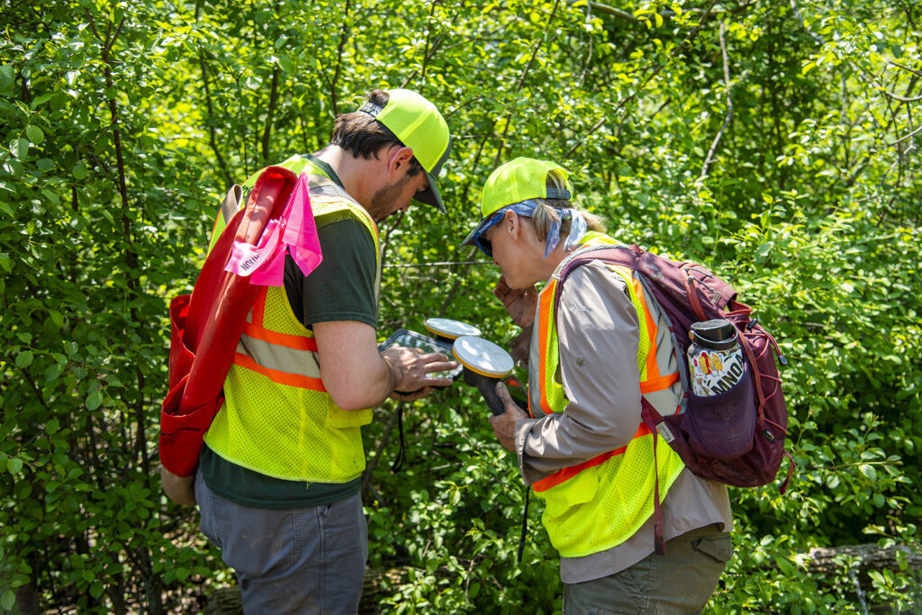
Project Overview
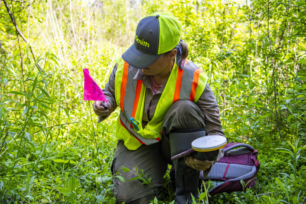
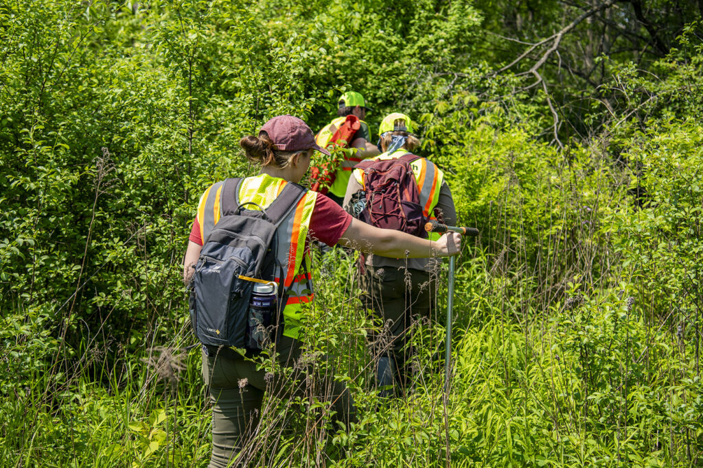
raSmith completed a wetland delineation on an approximately 3-acre parcel in the City of New Berlin as part of the planning and development phase for a future home build. Desktop resources, such as USGS topo, LiDAR, WWI, NRCS soils, historic aerials, and the APT drought tool, were thoroughly reviewed by a field investigation under “normal” antecedent moisture conditions. Boundaries were flagged and surveyed using sub-meter GPS and later compiled in GIS.
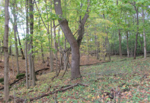
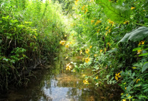
A total of two depressional emergent wetlands were identified and mapped during our investigation—W-1 (0.56 acres) and W-2 (0.49 acres)—totaling 1.05 acres. Although these wetlands are identified as separate in the report, our resources indicate they hydrologically connect offsite to the south and east. The remaining uplands are re-colonized fill pads dominated by buckthorn/honeysuckle thicket. The results meet the 1987 USACE Manual + Midwest Supplement reporting standards and WDNR Professional Assurance requirements.
Project Gallery