Project Overview
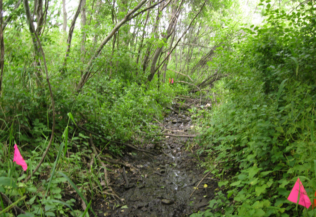
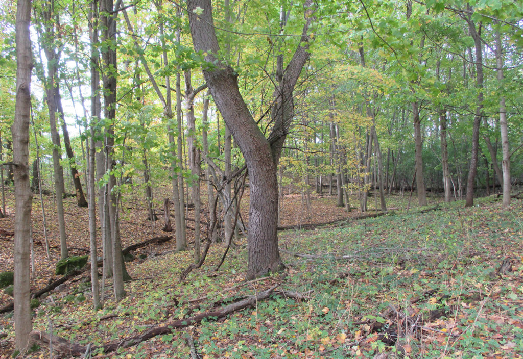
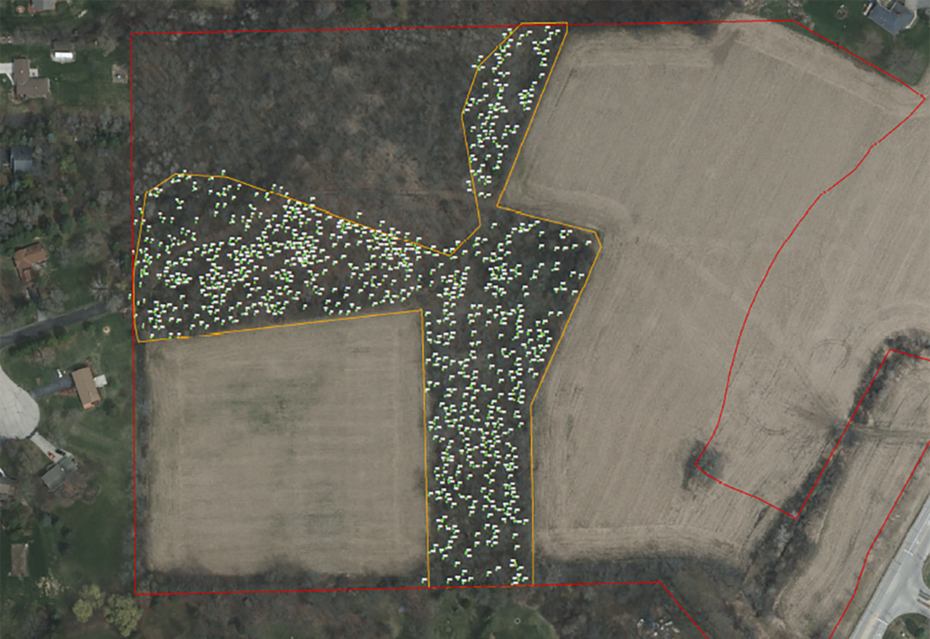
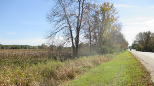
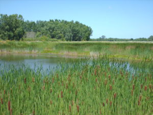
As part of the early planning phases for the proposed Monarch Subdivision, raSmith conducted a tree inventory and wetland delineation within an approximately 31-acre property in the City of Waukesha. The wetland delineation consisted of a review of available maps and information followed by fieldwork in June 2015 to document field conditions. The presence and absence of hydrophytic vegetation, wetland hydrology, and hydric soil indicators were documented using methodology defined in the U.S. Army Corps of Engineers (USACE) 1987 Wetland Delineation Manual and its associated Regional Supplement. One wetland was identified within the property which is associated with a ditched navigable waterway. Due to a temporary delay in the project, the wetland boundaries were re-examined in 2017 to confirm the 2015 boundaries; however, there were no significant changes to the boundary. The tree inventory took place in October 2017 and occurred within approximately seven acres of an Isolated Natural Resource Area (INRA) within the property. The purpose of the tree inventory was to determine the total woodland impacts within a proposed disturbed area of the INRA. Each tree five inches or greater in diameter was identified to the species level, measured using a diameter tape, assigned an ID number, and marked in the field. The trees were then subsequently located with a sub-meter Global Positioning System and a tree location map was prepared using a recent aerial photo as a basemap. Nearly 600 trees were identified within the Study Area limits as part of the project.
Project Gallery