Project Overview
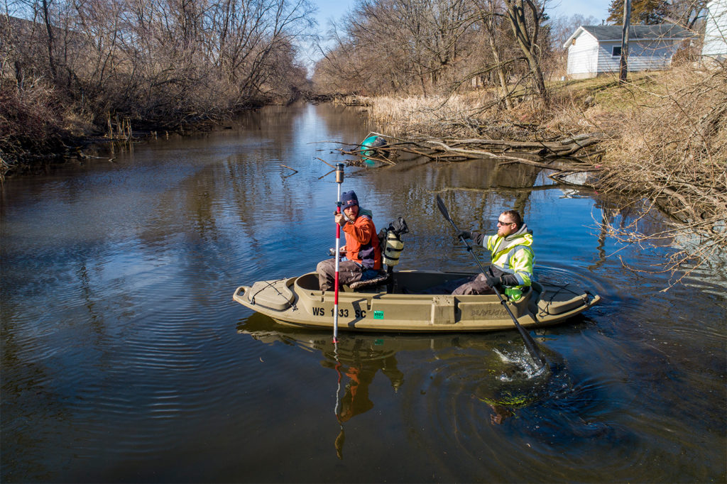
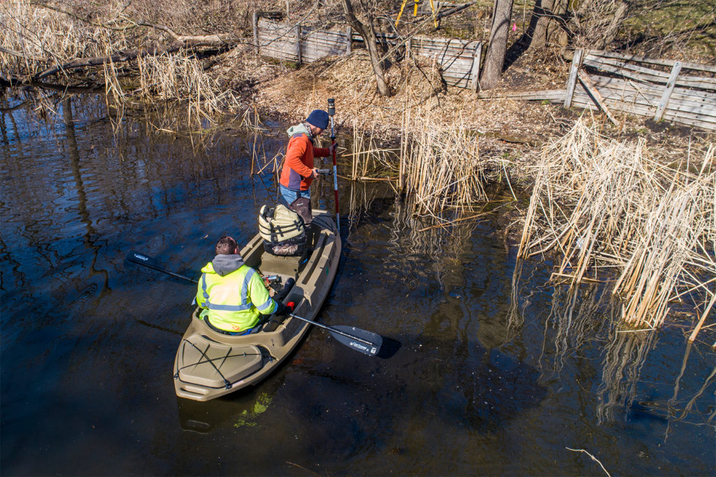
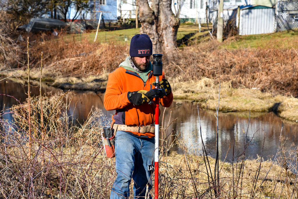
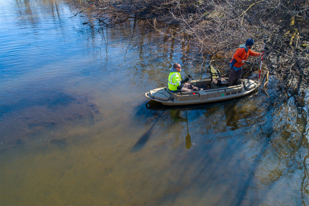
The 2.5-mile Portage Canal was completed in 1876 to connect the Wisconsin River to the Fox River and provide a continuous water highway from Green Bay to the Gulf of Mexico. Today, the canal is listed on the National Register of Historic Places, serving as an important community resource and component of the City’s stormwater system. However, accumulated sediment and pollutants have affected the water quality and deterred the canal’s usage. The Wisconsin Department of Natural Resources (WDNR) launched an approximately $8 million sediment remediation project to restore the canal. raSmith was selected to provide surveying services for Segment 2 of the project based on our unique range of technological capabilities including topographic, hydrographic, and UAS (drone) surveying.
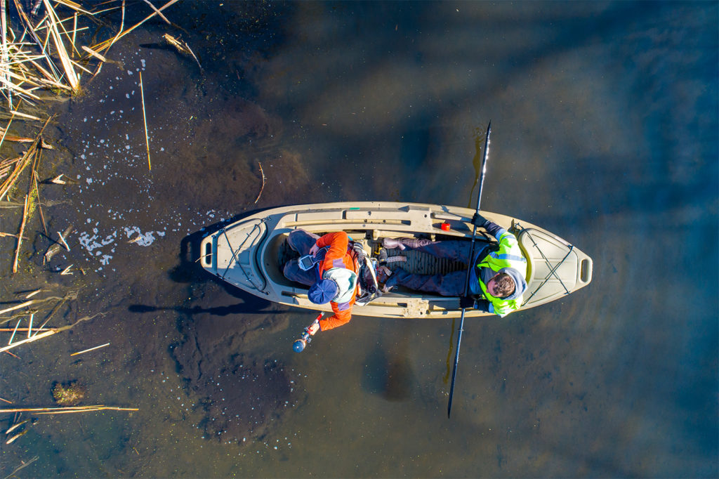
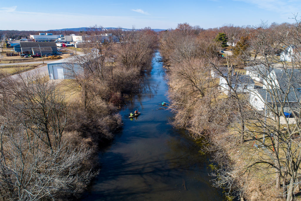
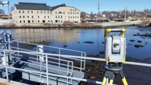
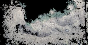
This project’s challenges have included an eight-month delay due to the COVID-19 pandemic’s mobility restrictions, the large amount of sediment in the canal, and the substantial size of the project area — 3,600 feet of waterway that is up to 70 feet wide. To prepare for the project’s dredging phase, raSmith’s hydrographic and topographic surveying work involved documenting existing site features and control points, including recording data for the Canadian Pacific Railroad bridge.
Additionally, the raSmith team utilized their UAS (drone) technological capabilities by capturing high-resolution orthophotos for enhanced data collection. The surveyors will also perform post-dredging surveying to compute the volume of materials removed and measure the railroad bridge for potential movement.
The project is part of a larger plan to transform the canal area and accommodate the Ice Age National Scenic Trail alongside the canal for outdoor recreation.
Project Gallery