Project Overview
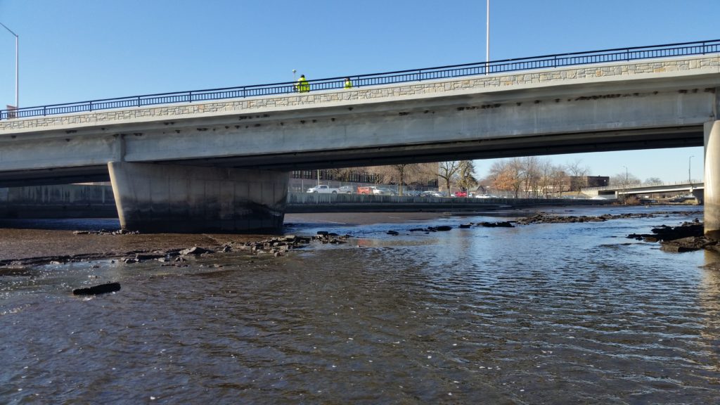
An accurate hydraulic survey was needed for the design of the proposed Badger Minimum Flow Turbine intake for one of the Kaukauna Utilities’ hydroelectric power plants. Kaukauna Utilities contracted with raSmith to complete a detailed hydraulic survey of a 2,000-foot segment of the Fox River, immediately downstream from the Kaukauna Dam.
Constantly changing rapid river flows and dam spill conditions brought significant challenges to the project, including the efficient and accurate collection of data, and importantly, safety concerns for those collecting the data. As a result, raSmith created a project-specific safety plan, including a safety checklist that survey staff completed at the start of each day they were working at the site.
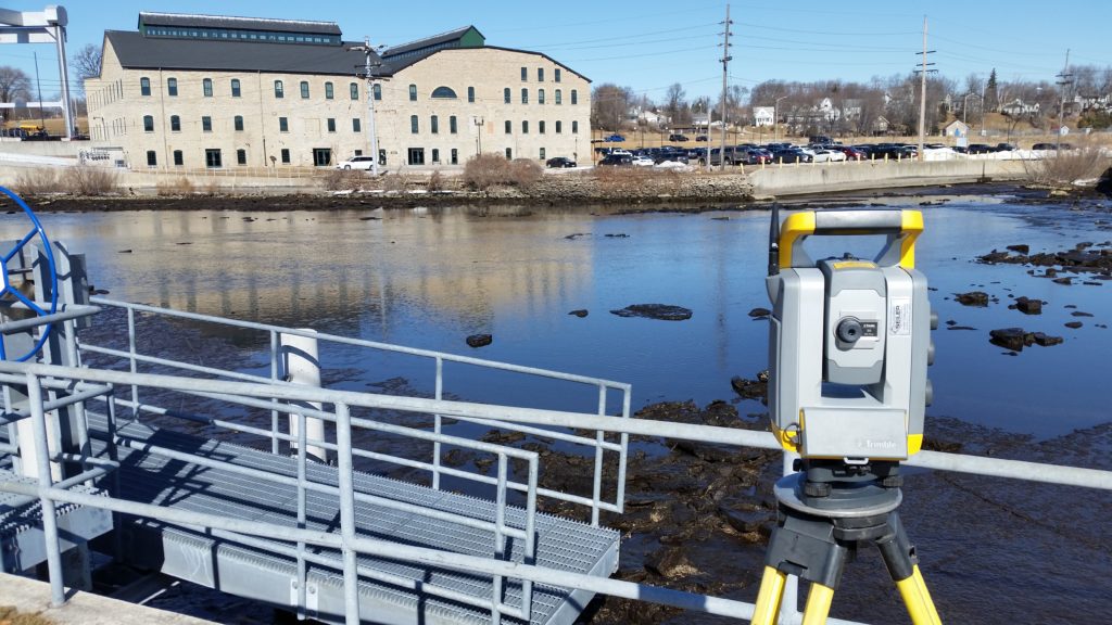
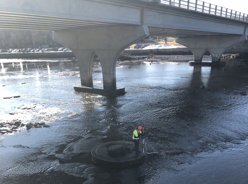
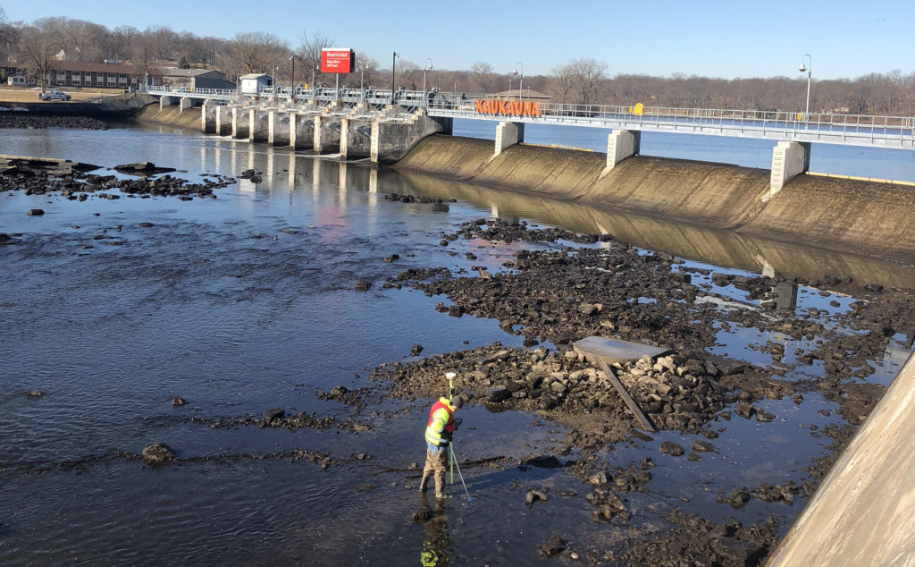
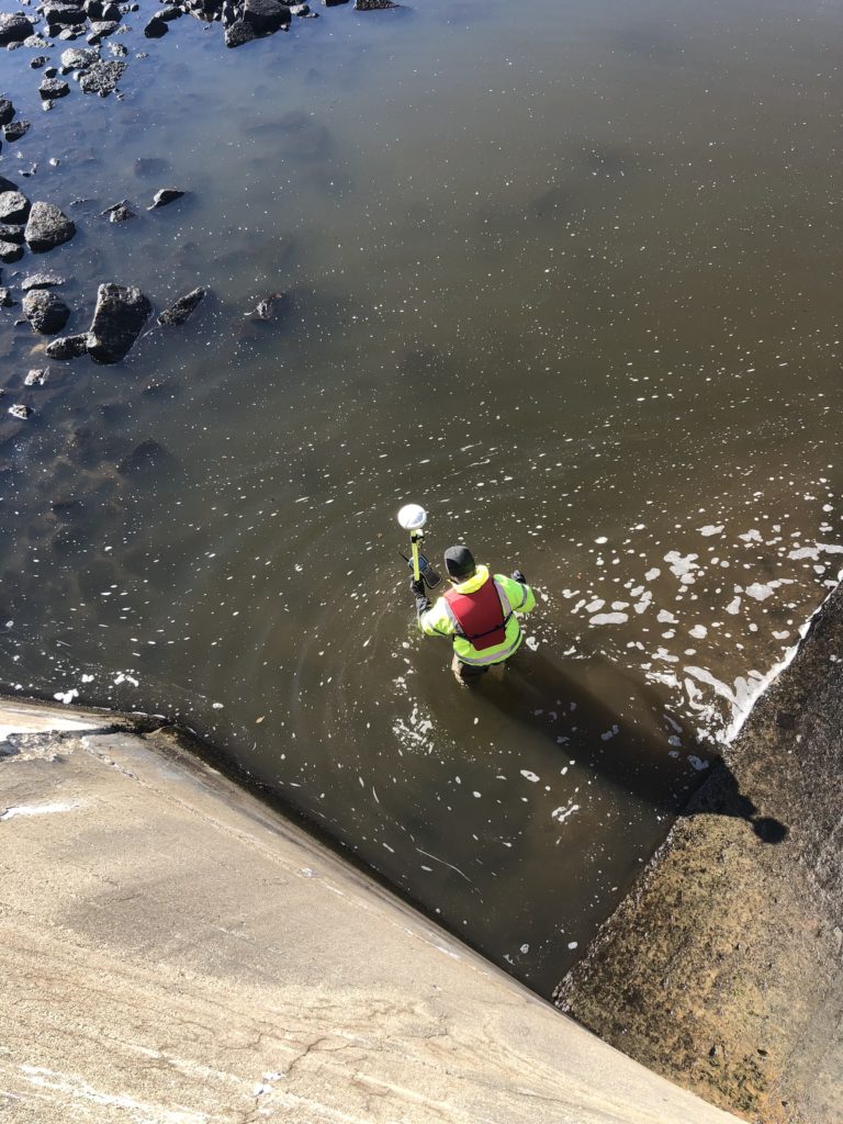
Nine survey staff from raSmith undertook varied roles and responsibilities needed to safely and efficiently collect the data using several types of state-of-the-art survey equipment and methods to provide highly accurate and comprehensive data. Low river flows at the time, along with close coordination with Kaukauna Utilities and the US Army Corps of Engineers resulted in those agencies altering the river flow and dam spillage as much as possible for an approximate four- to six-hour period while four field survey staff members waded the river to collect river bottom and bridge pier survey data. Of these four, two individuals collected data with RTK (real-time kinematic) GNSS (global navigation satellite systems) and two collected data with robotic total stations. Two additional field survey staff operated and moved total station equipment outside of the river as necessary.
Sonar data was collected using remote-controlled watercraft in the deeper portion of the river immediately in front of the dam gates. Dam crest, top of sea wall, and bridge low chord survey observations were completed with robotic total stations oriented to leveled control to meet the required 0.01-foot vertical accuracy requirement.
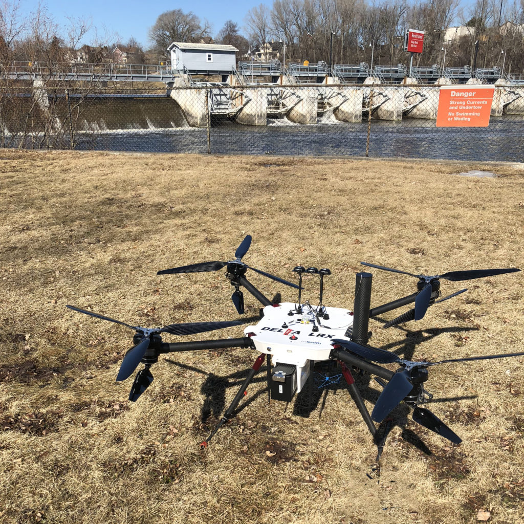
As a value-added deliverable, an ALTUS LRX UAS (unmanned aircraft system, or drone) was used to capture high resolution, orthorectified imagery of the Kaukauna Dam and immediate surrounding vicinity.
Final deliverables to the client included permanent horizontal and vertical survey control, dam crest elevation measurements, river bottom/top of sea wall cross-section measurements and bridge structure hydraulic survey data.
Project Gallery