Project Overview
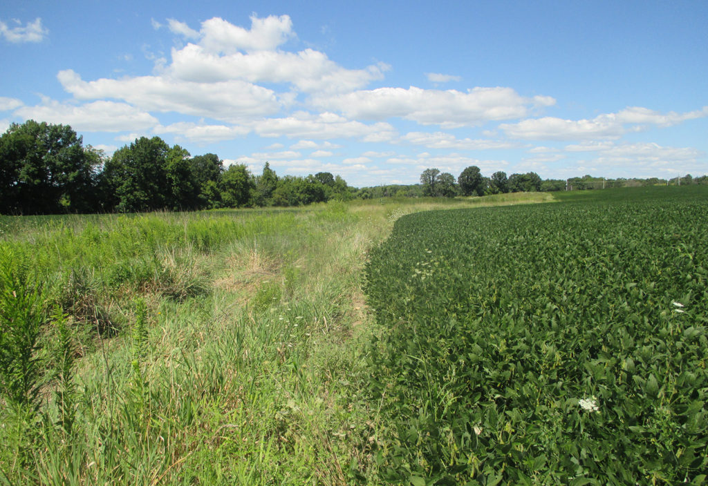
In 2020, the raSmith wetland team was retained as a subconsultant to provide wetland permitting and mitigation services for an approximately 46-acre industrial project site in the City of Franklin, referred to as “Oakwood Industrial.” The proposed project, located in a City of Franklin Planned Development District (PDD), included the construction of two large industrial buildings south of Oakwood Road as well as associated parking and stormwater features. The vast majority of wetland acreage within the project site could be avoided; however, due to the location and orientation of a wetland that extended diagonally across the parcel, there was no way to completely avoid the wetland while still meeting the basic project purpose and need. raSmith worked with the project team as well as the City of Franklin, US Army Corps of Engineers (USACE), and the Wisconsin Department of Natural Resources (WDNR) to prepare and subsequently obtain a Wetland General Permit for wetland impacts less than 10,000 square feet. raSmith also assisted in the preparation of the City of Franklin Natural Resources Exception Question and Answer Form as it pertained to wetland impacts and wetland functions and values which was necessary for City approval.
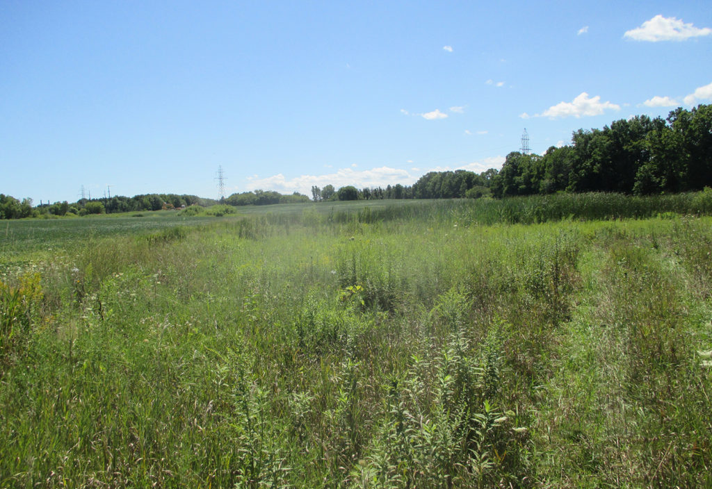
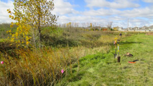
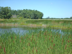
To compensate for wetland loss, raSmith also prepared a wetland mitigation Compensation Site Plan (CSP) for the project using WDNR’s “Guidelines for Compensatory Wetland Mitigation in Wisconsin.” The CSP was provided for site-specific wetland and wetland buffer impacts associated with the Oakwood Industrial project as required by Part 4 (Natural Resource Protection) of the City of Franklin’s Unified Development Ordinance (UDO). It was not a requirement of the WDNR or USACE as the proposed wetland impacts were less than 10,000 ft2 and fell under a General Permit. The CSP included an on-site conceptual wetland/wetland buffer mitigation design plan as compensation for wetland/wetland buffer impacts associated with the project. Field baseline soil, hydrology, and vegetation data was collected in the spring of 2021 to confirm that the mitigation area was suitable for wetland mitigation and a final CSP was subsequently prepared. The mitigation site is slated to be constructed in the next year or two.
Project Gallery