Project Overview
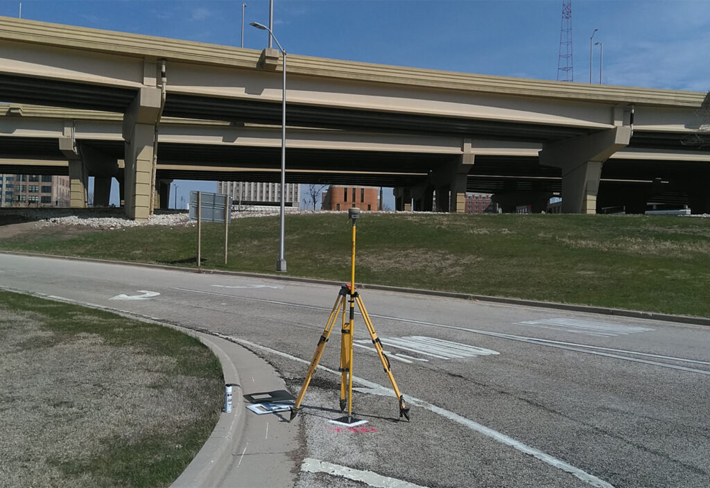
raSmith provided comprehensive survey control services for a roadway improvement project at the Marquette Interchange — one of Wisconsin’s most complex and heavily traveled transportation hubs. Located in downtown Milwaukee, the interchange is a multi-level system that connects Interstates 43, 94, and 794, requiring precise coordination and highly accurate spatial data to support design and construction activities.
The survey services included the establishment of permanent horizontal and vertical control, aerial imagery and LiDAR flight targeting, and terrestrial mobile LiDAR targeting. These services created a reliable geospatial framework and ensured consistency across multiple data collection methods. raSmith combined traditional survey control with advanced digital level and global navigation satellite system (GNSS) technology to aid in the efficient capture of accurate, high-resolution data throughout the interchange. The data will improve modeling accuracy and facilitate informed decision-making during design and construction.
Project Gallery