Project Overview
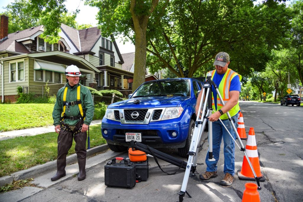
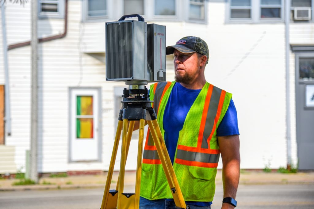
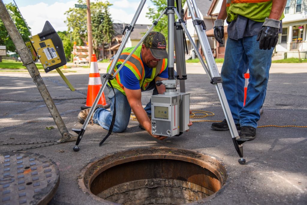
raSmith provided conventional survey and static LiDAR services to the City of Milwaukee for this large-diameter combined sewer overflow (CSO) pipe as-built mapping project.
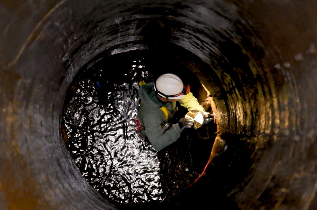
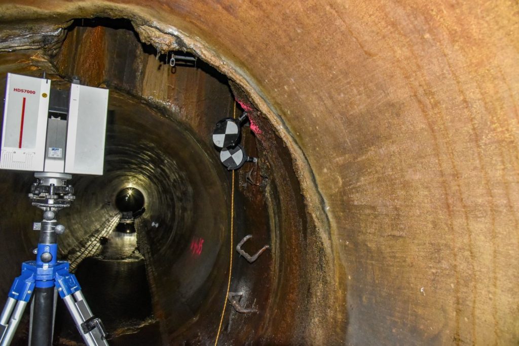
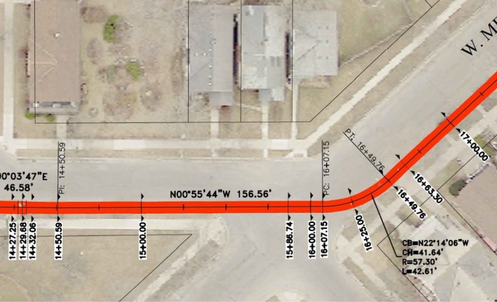
In support of an upcoming sliplining construction project, raSmith scanned approximately 3,700 linear feet (including three radii and four tangent sections) of CSO pipe (diameters ranging from 6 to 7.5 feet) in the City of Milwaukee, as captured in this project video.
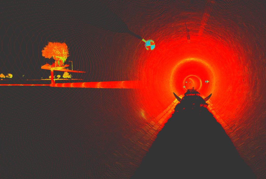
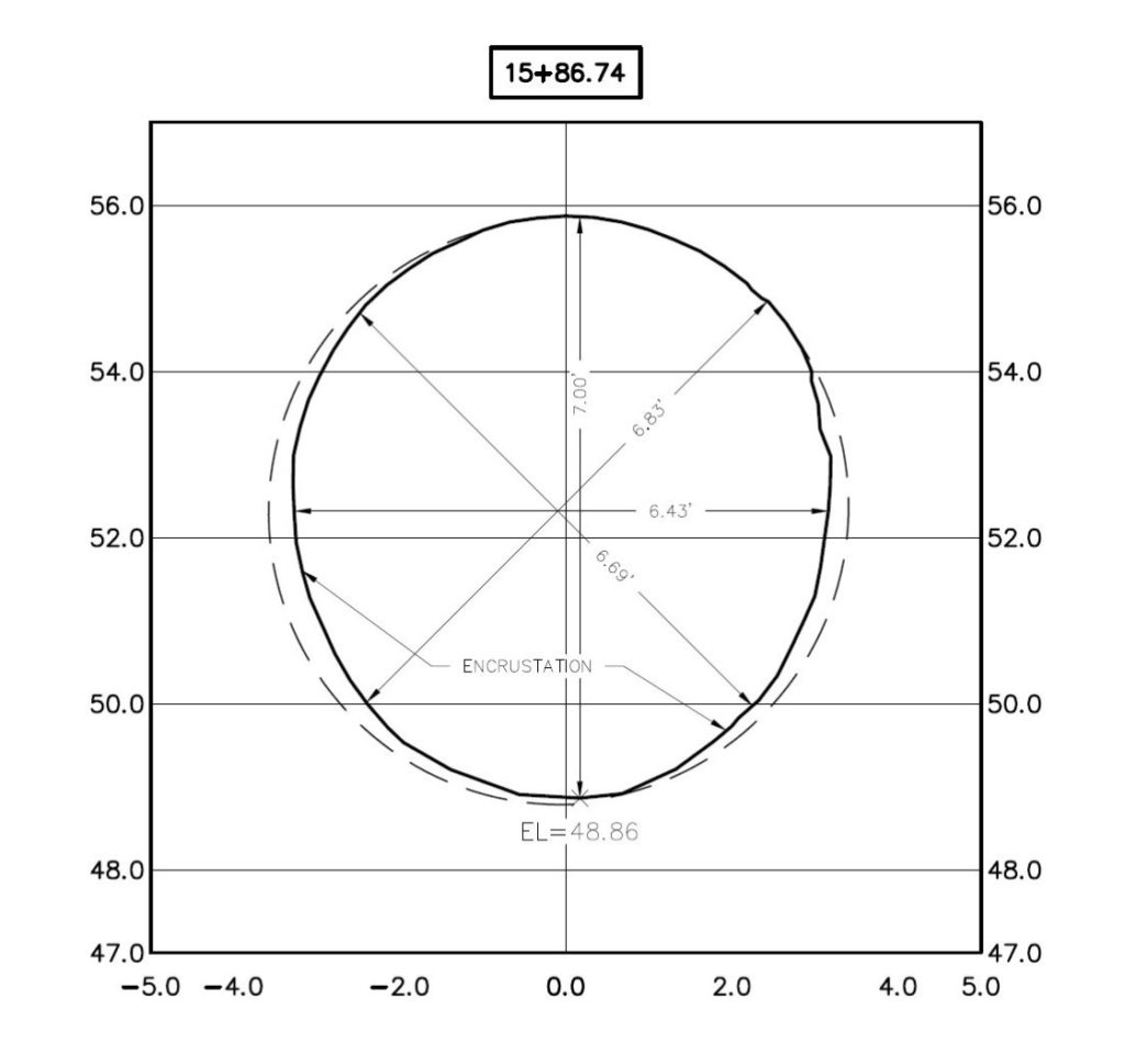
In order to aid contractors to properly plan for the subsequent construction work, raSmith mapped anomalies such as structural deflections and deposits that could restrict optimum flow and/or impede the sliplining construction process. An alignment was created, along with a series of cross-sections, at preset intervals (100-foot stations in the tangent sections and 25-foot stations in the radii), plus at any observed deflection or deformation point. Point cloud data and a 3D mesh of the inside surface of the existing pipe were also provided.
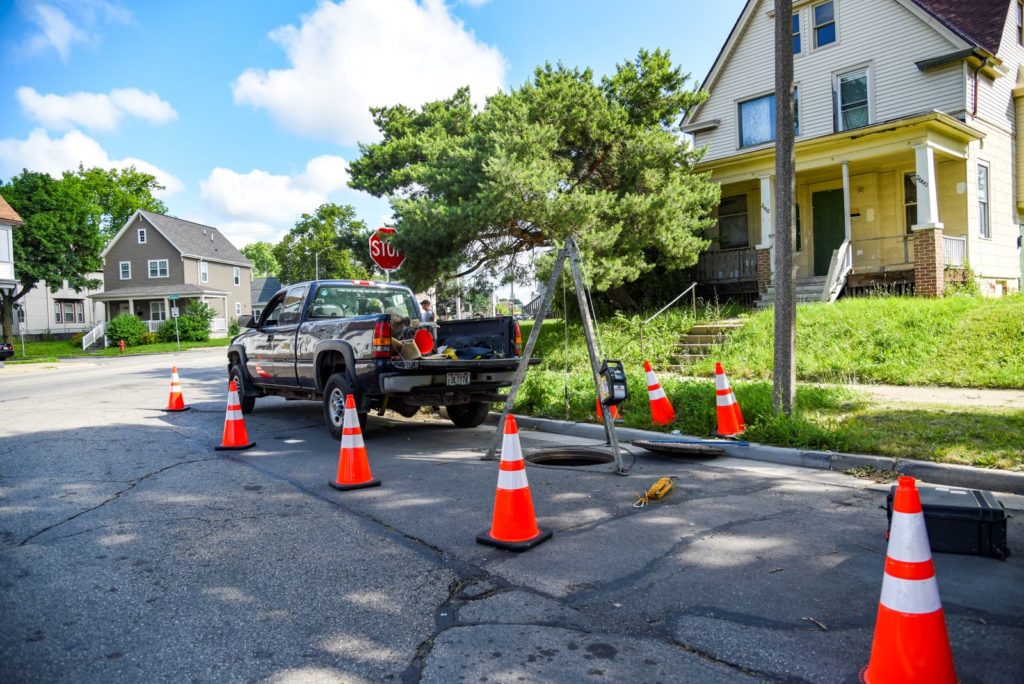
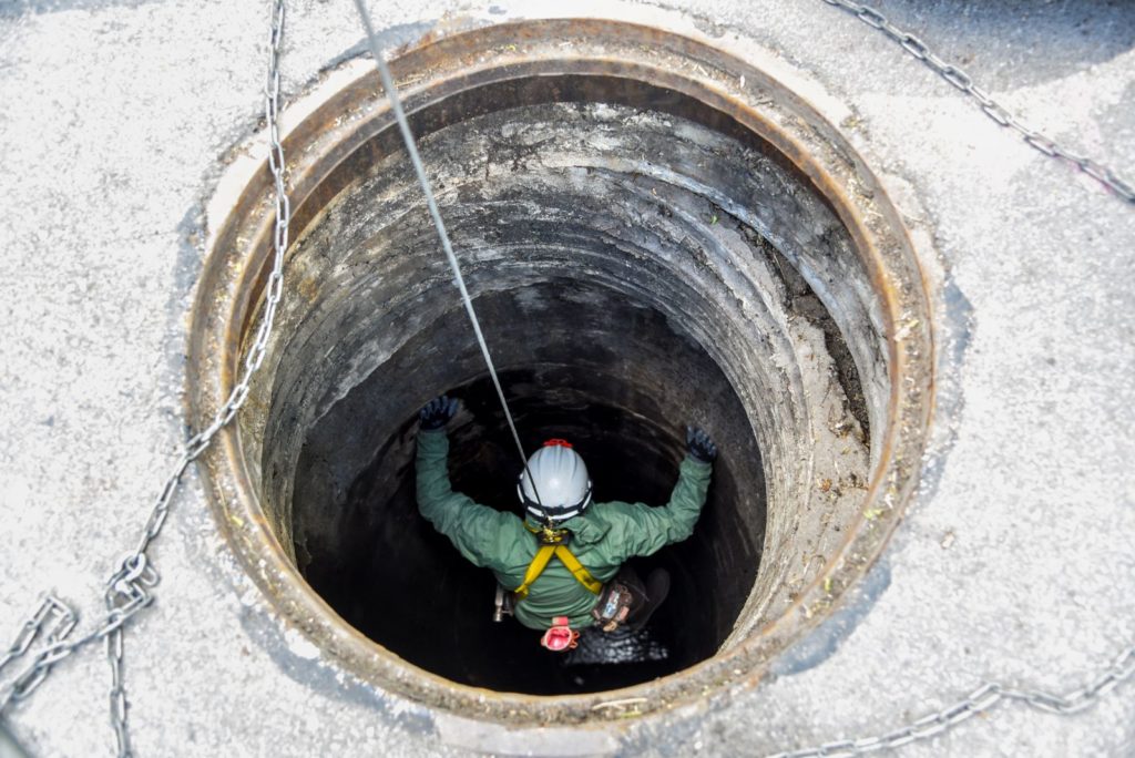
Underground scans were connected to an above-ground survey control network through a series of inverted scans down manholes into the CSO pipe below (depths ranging from 35 to 55 feet).
Read an article about this project featured in Civil + Structural Engineer magazine.
Project Gallery