Project Overview
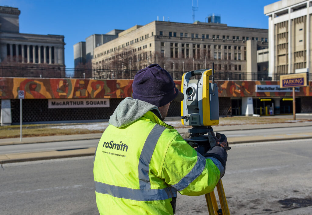
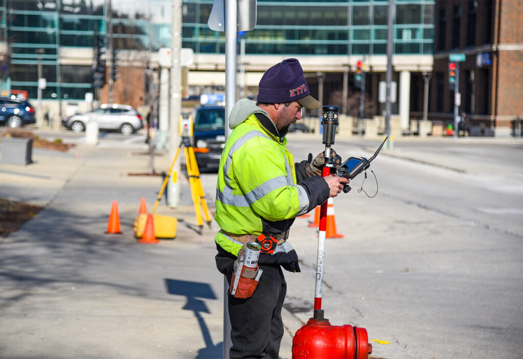
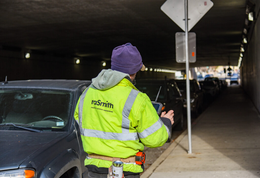
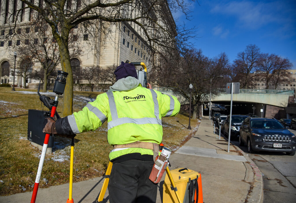
raSmith provided land surveying services for the potential expansion of MacArthur Square, located between the Milwaukee County Courthouse and the Public Safety Building in the heart of downtown Milwaukee. raSmith completed boundary, topographic, and ALTA/NSPS surveys for the 650,000-square-foot building, which consists of four levels, including three levels of underground parking and the surrounding area. Boundary, topographic, and ALTA/NSPS surveys were completed by raSmith, which included extensive use of static LiDAR (3D laser scanning) to efficiently capture topographic features in the subterranean parking levels.
The proposed expansion includes extending streets into the MacArthur Square area and redeveloping the site to incorporate new uses such as green space, sports courts, retail, and/or office. MacArthur Square is one of several redevelopment opportunities that is part of the City of Milwaukee’s Connec+ing Milwaukee – Downtown Plan 2040.
Project Gallery