Project Overview
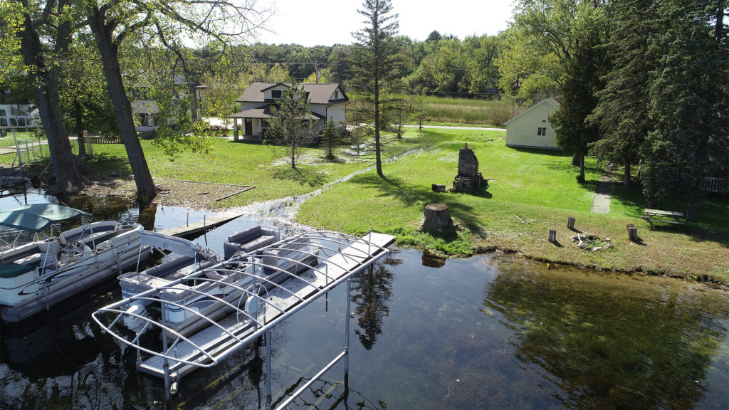
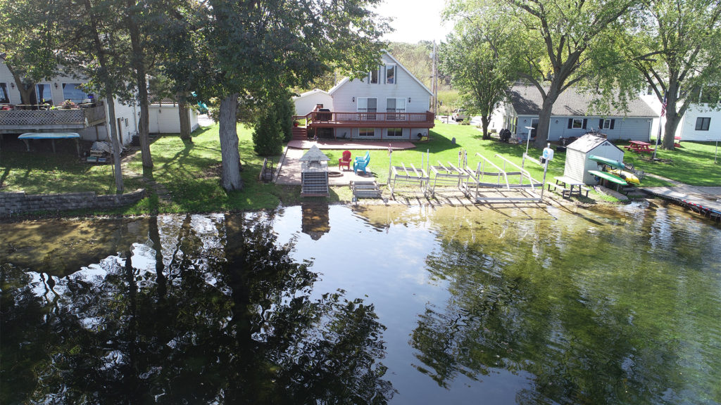
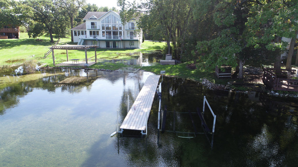
During much of the summer of 2019, users and residents of Lily Lake were unable to use the lake for recreational uses that caused boat wakes. High water lake elevations in 2019 were often more than 1.5 feet above the long-term average lake level elevation.
With input and direction from the Lily Lake District property owners and residents, Town of Wheatland elected officials, and Kenosha County Planning and Zoning Staff, raSmith’s municipal services group conducted a study to look at potential solutions for high water problems after significant rain events.
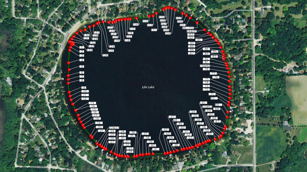
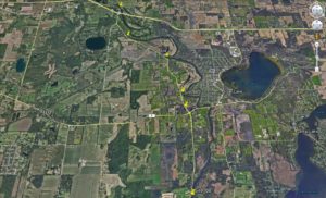
The study included looking at different lake level control options to see how high water elevations could be controlled during excessively wet years. As part of the study, raSmith utilized a UAS system to quickly photograph high water level conditions to aid in the study efforts.
In just a few hours, over 130 high-resolution, UAS-derived aerial images were captured, memorializing high water conditions for all lakeshore properties. This effort was coupled with establishing vertical and horizontal control networks that were used to identify actual lake level elevations.
This information was then incorporated into the final study, where several engineered options were identified for the stakeholders’ consideration to provide some relief for property owners.
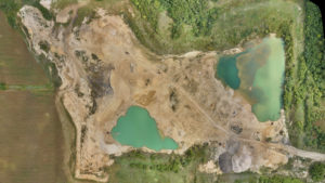
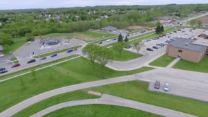
Project Gallery