Project Overview
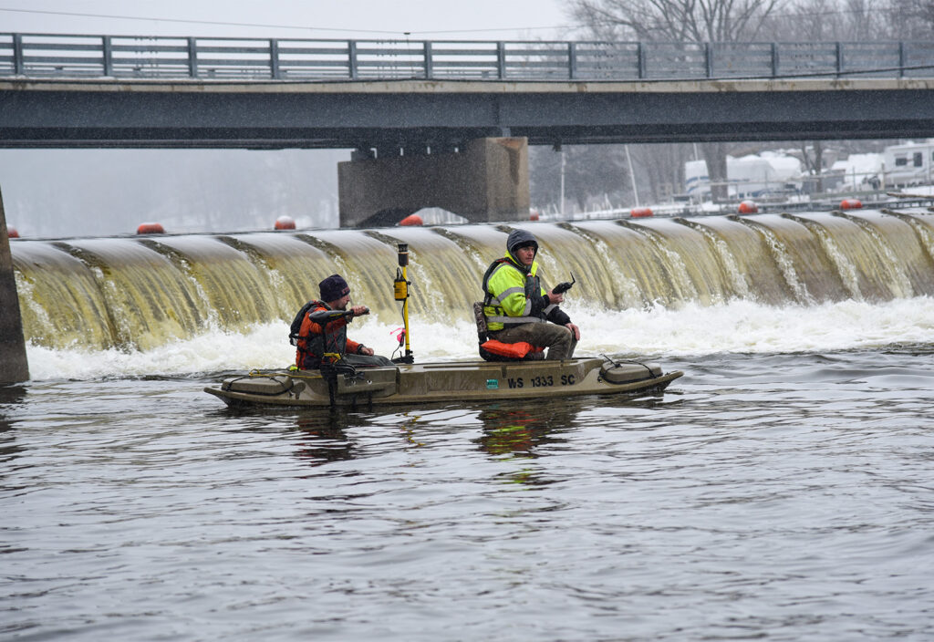
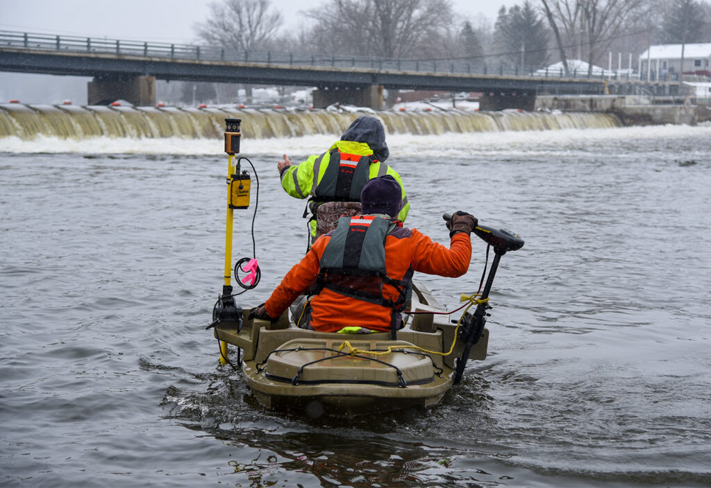
raSmith provided hydrographic surveying services for a project at the Indianford Dam in Edgerton, Wisconsin. This survey was performed to determine the extent of scour and debris in the river channel downstream of the powerhouse.
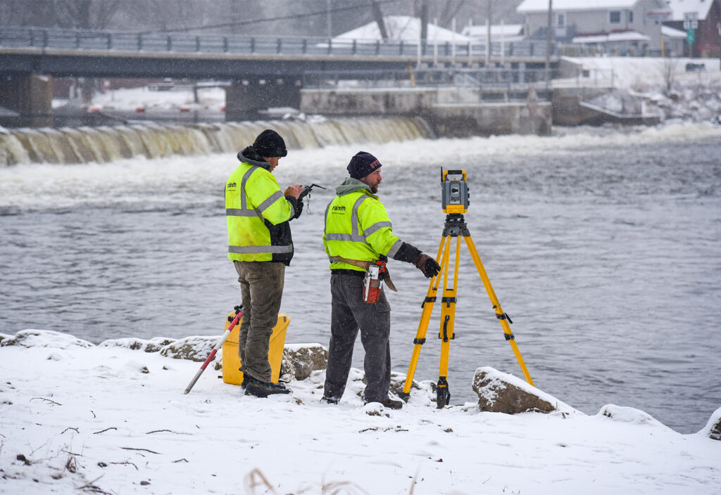
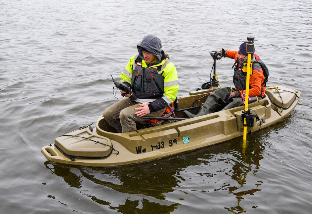
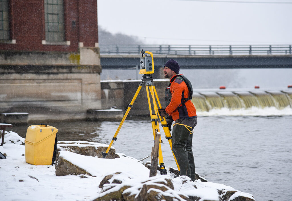
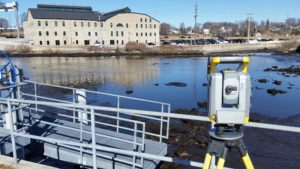
The biggest challenge included navigating the flow of turbulent water. raSmith surveyors used a watercraft equipped with a single-beam sonar to capture and map one-foot contours along approximately 10,000 square feet of the Rock River’s bottom surface. The edges of the topographic data collection limits were measured with conventional rod and total station equipment to ensure an accurate representation of the mapped area.
Project Gallery