Project Overview
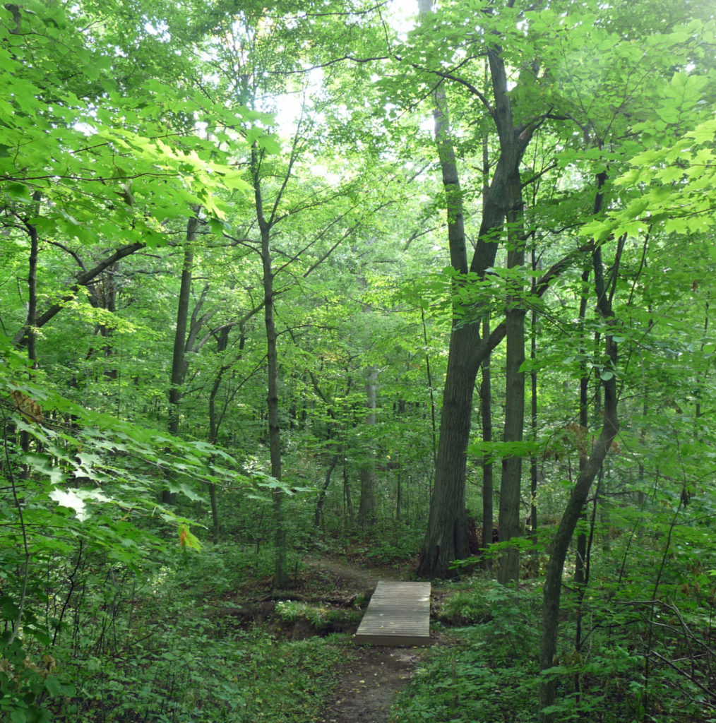
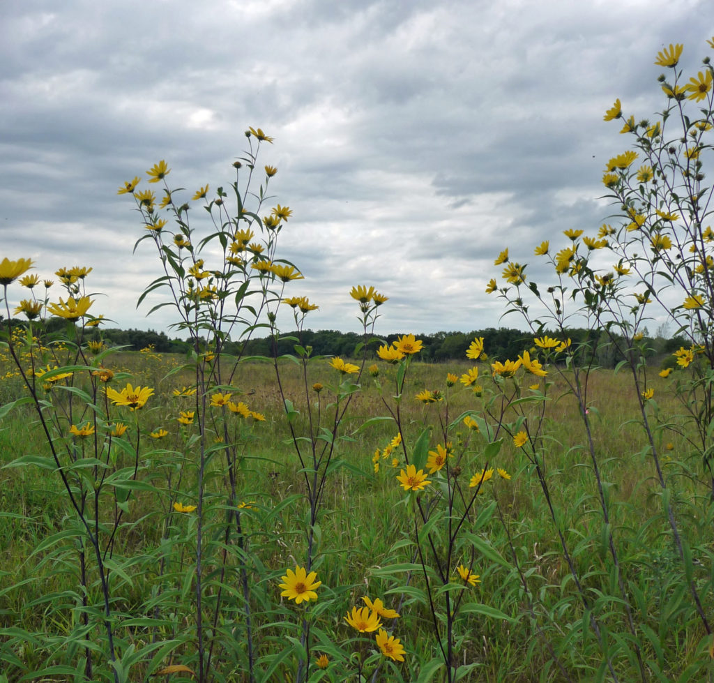
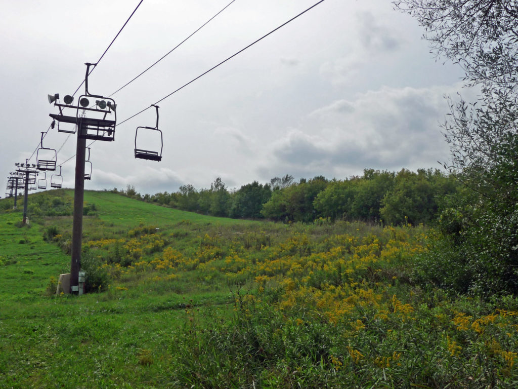
As part of the planning process for a new sports complex, raSmith ecologists worked with McClure Engineering Associates, Inc. to identify and delineate wetlands and woodlands on an approximately 140-acre parcel owned by Milwaukee County in the City of Franklin and Village of Greendale. The site is situated along the Root River and has an unusual history — first as a quarry, then a landfill which was later capped, and finally as a recreational ski hill known as “Crystal Ridge.” The purposes of the project were to determine the locations and extents of jurisdictional wetland boundaries for potential waterway and wetland permitting purposes and to identify “Young” and Mature” Woodlands, as defined in the City of Franklin’s Unified Development Ordinance (UDO).
For this project, raSmith’s ecologists identified and delineated two jurisdictional wetlands totaling 0.56 acres, five UDO-defined “Mature” woodlands, and two UDO-defined “Young” woodlands. The wetland fieldwork documented the presence and absence of hydrophytic vegetation, wetland hydrology, and hydric soil indicators. Mature and Young Woodlands were based on stand size, canopy cover, and average tree diameter in each stand as described in the City’s UDO.
Wetland flags were surveyed by McClure Engineering Associates, Inc., while the boundaries of woodlands were GPS-surveyed by raSmith. The surveyed wetland and woodland features were incorporated into the site planning process, as each feature is protected under the City of Franklin UDO and the Wisconsin Department of Natural Resources.
Project Gallery