Project Overview
raSmith provided surveying services for an approximately 80-acre project site in southeast Wisconsin for OneEnergy Renewables, which was planning to build a solar panel field. Along with an ALTA/NSPS land title survey, OneEnergy Renewables needed an outline of the woods and heights of the trees. This survey would enable the client to determine the area of shade cast on the site and apply this data to the design and placement of the solar panels.
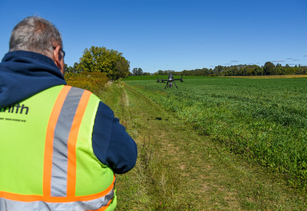
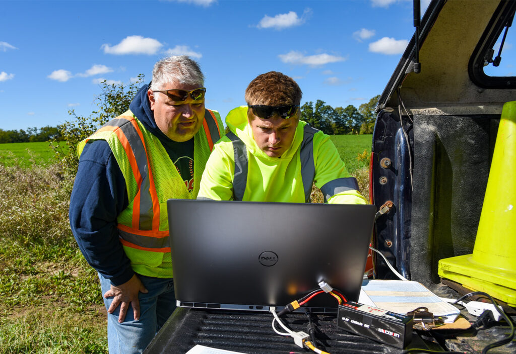
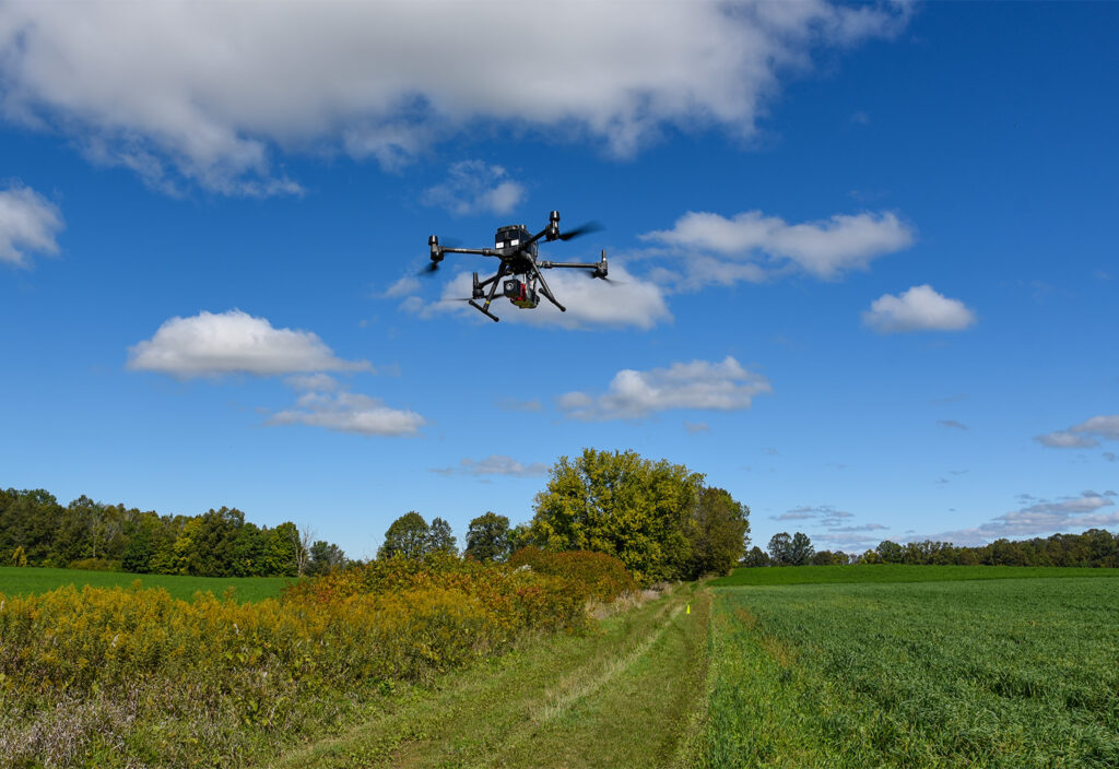
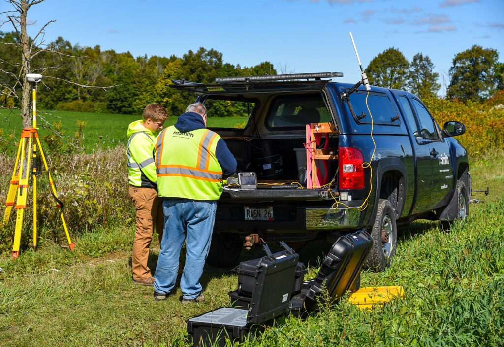
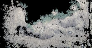
The corn and soybeans planted in the fields made it challenging to access the site on the ground to map the tree lines and obtain the tree heights. raSmith used UAS LiDAR to map the outline of the wooded areas, tree heights, driveways, and buildings. This approach prevented crop damage and completed the project in less time.
Project Gallery