Project Overview
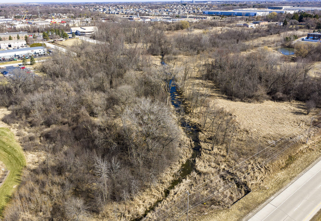
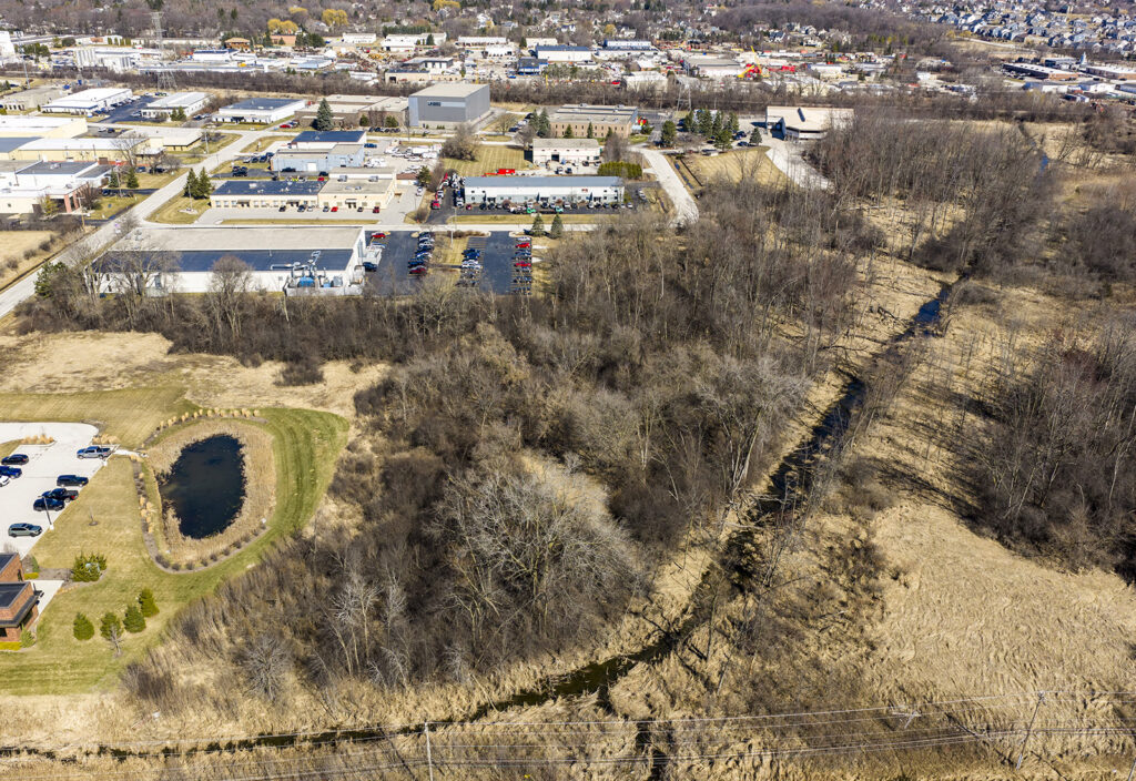
raSmith partnered with Moore Construction Services to address floodplain constraints affecting two adjacent properties along Lilly Creek in the Village of Menomonee Falls. A newly FEMA approved floodplain study had significantly increased base flood elevations and expanded the mapped floodway, creating challenges for future site development. raSmith reviewed the adopted study and identified opportunities to better refine the underlying hydrologic assumptions that were driving the elevated flood levels.
Through detailed hydrologic and hydraulic modeling, raSmith revised contributing drainage areas near Silver Spring Drive and the Union Pacific Railroad crossing, resulting in lower modeled flows and reduced floodplain elevations without creating downstream impacts. Close coordination with the Village of Menomonee Falls and regulatory agencies ensured the updated approach met all local, state, and federal requirements. The refined analysis supported updates to the floodplain mapping and ultimately allowed the project to advance through the Letter of Map Revision (LOMR) process, clearing regulatory obstacles while maximizing future development potential.
Project Gallery