Project Overview
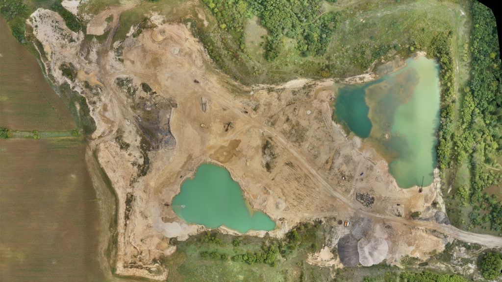
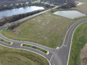
A to Z Aggregates was looking for assistance with verifying quantities of earth moved during the construction season. This quarry operator turned to raSmith to quickly map the surface of an 80-acre portion of this aggregate mine located in Rochester, Wisconsin.
raSmith’s Survey Division deployed a crew including one of our FAA Part 107 certified remote pilots, who utilized a UAS system to conduct a low-altitude, high-resolution photogrammetric mapping flight for the subject area.
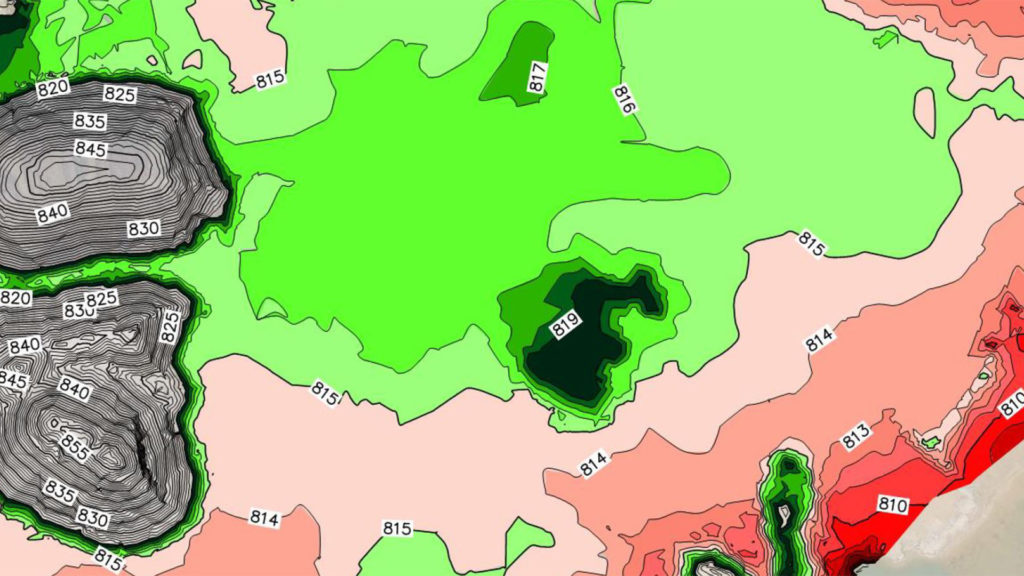
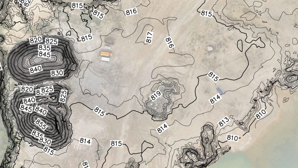
Photogrammetric processing methods were then used to develop point cloud data, a 3D surface, 3D contours and a high-resolution orthophoto from the imagery captured during the mapping flight. This data enabled the quarry operator to verify quantities of earth and aggregate moved, as well as to help identify higher elevation areas on the quarry floor to temporarily store mining equipment during the non-construction season.
Project Gallery