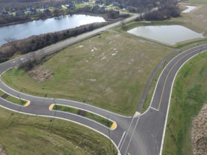
Project Overview
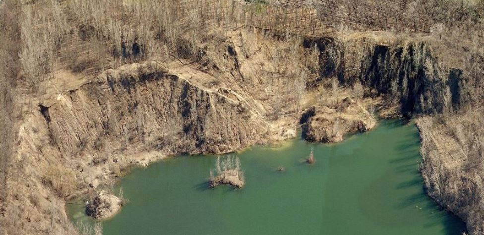
raSmith was contracted by the City of Brookfield to perform the challenging first phase of a topographic survey in support of site planning, design and earthwork calculations for the difficult, rugged terrain surrounding a lake resulting from a former quarry that ended operations in the 1980s. Steep vertical relief of over 100 feet on the perimeter of the former quarry excavation made it extremely hazardous, if not impossible, to survey with conventional methods. This particular cliff area notwithstanding, the remaining terrain on the site was difficult to traverse in its own right due to thick vegetative cover and variable slopes from past placement of quarry spoil and overburden.
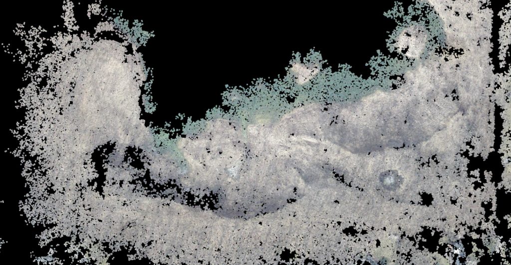
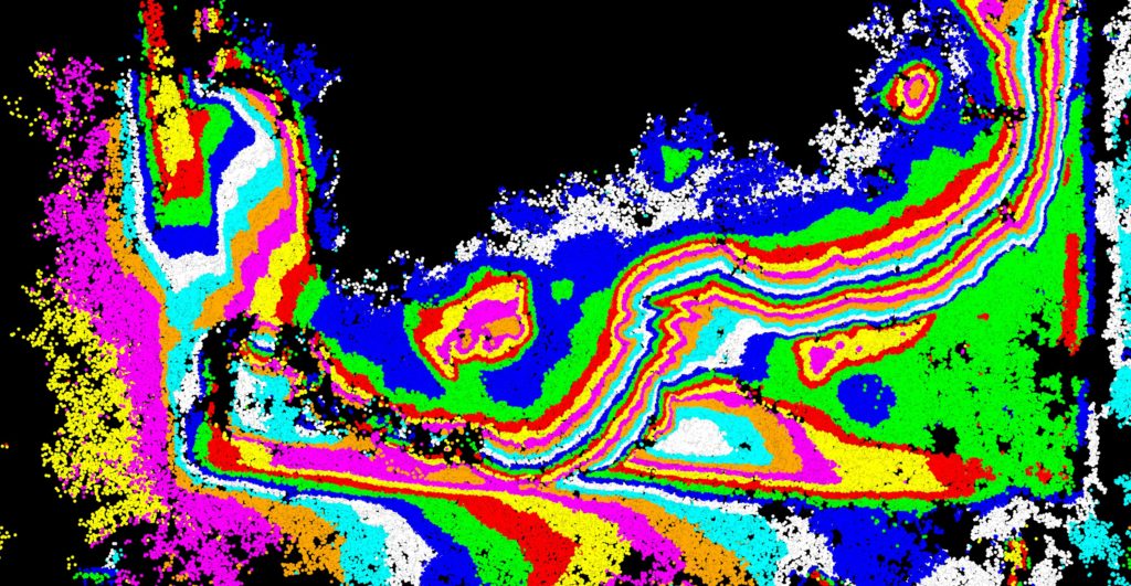
Our survey staff decided that their unmanned aircraft system (UAS) was the safest, most economical way to capture accurate cliff face data. Ground control targets were placed and acquired to ensure data accuracy and simplify merging with conventional survey data on a common project coordinate system. A large sample of ground validation points was also collected and analyzed to document data accuracy. Captured UAS imagery produced dense point cloud data of the cliff face, allowing the jagged, irregular surface to be mapped in great detail. Conventional methods would have resulted in an extremely small amount of data points, with interpolation being relied on at best, or even data voids at worst, resulting in much more approximate surface data, and much less accurate data for design, engineering and earthwork quantities. UAS combined with conventional methods allowed the safe, efficient capture of extremely challenging terrain.
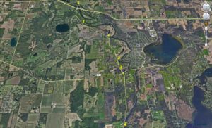
This topographic data was used to develop site designs and grading plans for the connection of the City of Brookfield’s Greenway Trail System that links the adjacent residential areas to a neighborhood park and offers viewsheds of the lake along the new trail.
Project Gallery